Main Menu | Places & Properties A to Z
The Water Tower
Park Road | Aldeburgh | Suffolk | IP15 5ET
Please note the Water Tower is now a private residence.

Brief history
| Year | Date | Event |
|---|---|---|
| 1870 | Oct 11 | Tenders invited by Aldeburgh Waterworks Company (Limited) for construction of waterworks |
| 1870 | Nov | Construction of waterworks reportedly begins by Messrs. Smyth under superintendence of W. Bruff, Engineer |
| 1870 | Dec | Formal application to Department of Trade to construct waterworks |
| 1871 | Apr 13 | Provisional oder made empowering Aldeburgh Waterworks Company (Limited) to construct waterworks |
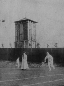
| ~1871/72 | Water tower with 11,000 gallon tank completed | |
| 1901 | Nov | Aldeburgh Waterworks Company (Limited) wound up |
| 1909 | Jul 5 | Report provided to Aldeburgh Corporation on raising and enlarging existing water tower and tank |
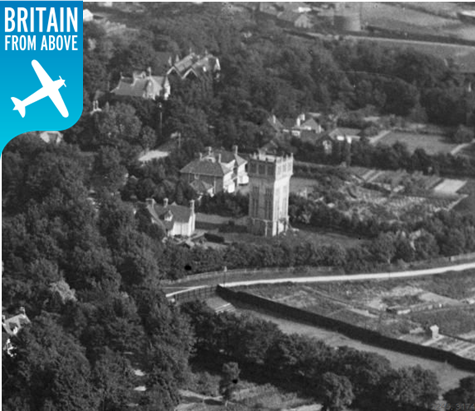
| ~1909/10 | Water tower increased in height to accommodate larger 35,000 gallon tank supported by new steel framework inside | |
| c. 1980’s | Water tower becomes redundant | |
| 1996 | Jul 9 | Listed as Grade II Building |
| 2007 | Apr 2 | Water tower sold by owners Northumbrian Water at auction by Savills at Millennium Hotel, Grosvenor Square, London for £407,000 to pharmacist Mr E H Borno |
| 2010 | Oct | Planning application on behalf of owner Mr E H Borno for restoration, alterations and change of use of water tower to form two new residential units including a new ground floor extension with planted sedum roof and rooftop glazed studio submitted |
| 2011 | Mar 11 | Desk Study Report commissioned by owner Mr E H Borno published by Matthew Elcock BEng FGS of Geotechnical & Environmental Associates Limited |
| 2012 | Jun 8 | Planning application on behalf of Mr E H Borno for restoration, alterations and change of use of the water tower to form a new residential dwelling including a new ground floor extension with a planted sedum roof and a glazed rooftop studio granted |
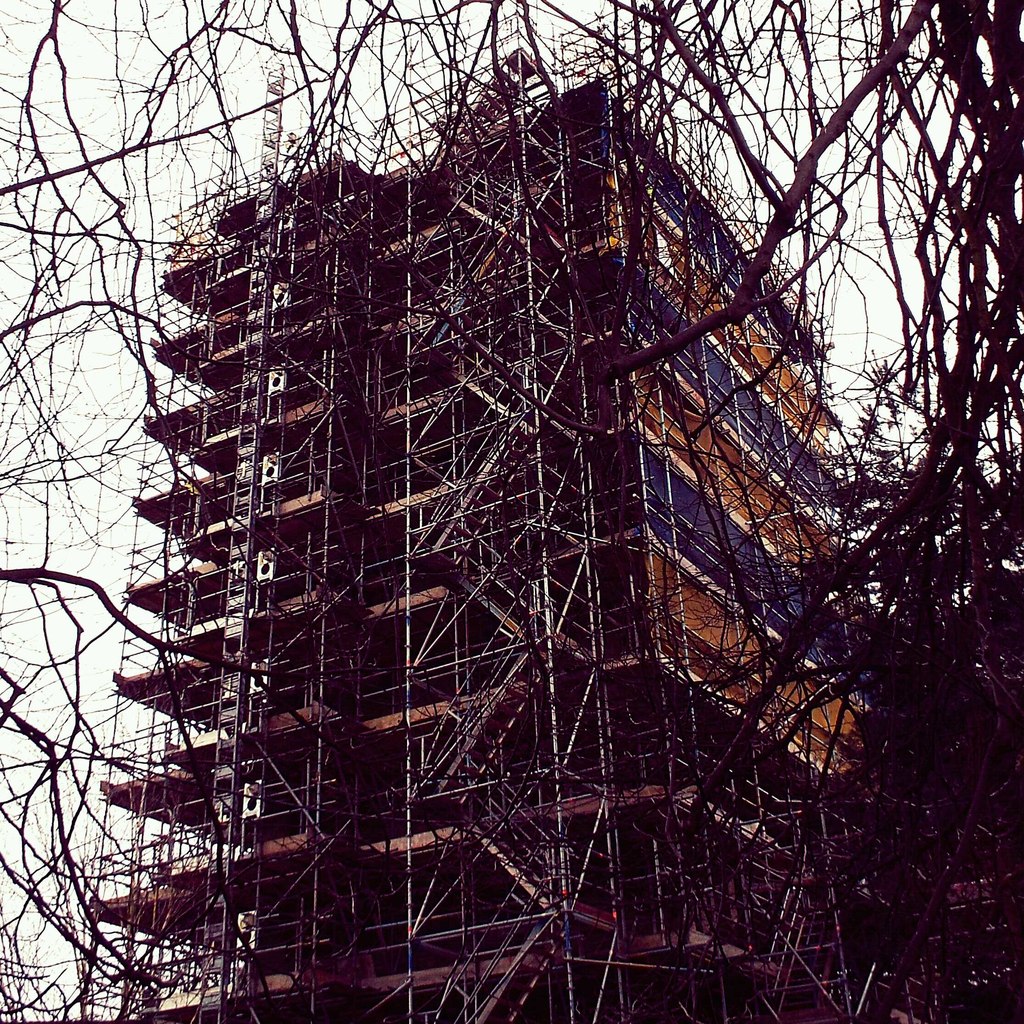
| 2016 | Oct | Work on converting water tower nears completion |
Location
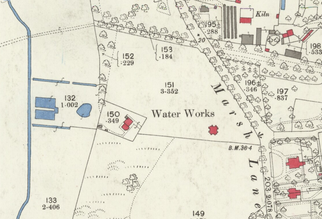
The above map extract (1881) shows the location of the water works. Far left are the abstraction reservoirs coloured blue. These were connected by pipe to the pumping station, coloured red, to the left of the water works descriptor. The pumping station was connected by pipe to the water tower, coloured red, immediately below the ‘s’ of the water works descriptor. The pipe from the water tower originally led down the Town Steps to the High Street. Marsh Lane on the 1881 map is now Park Road, and Priors Hill Road has since been constructed (see 1926 map below).





Page last updated: 27 November 2024